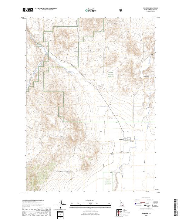
2023 Map of Holbrook
USGS Topo · Published 2023About this map
Holbrook sits at the intersection of high desert terrain and agricultural valley land in this modern survey of Oneida County. The map provides a detailed view of the Curlew National Grassland, which dominates much of the northwestern and central landscape, punctuated by the elevations of the Deep Creek Mountains and the Sublett Range. Family historians will find the Holbrook Cem south of the primary settlement, positioned near the entrance to the Curlew Valley. The hydrology of the region is defined by drainages such as Deep Creek, Rock Creek, and Meadow Brook Creek, which carve through the basins between White Valley and Lookout Mtn. A grid of rural roads, including Hess Rd and Juniper Rd, provides access to the dispersed holdings within this high-elevation Idaho borderland.
Find a feature on this map
30 named features on this map. Tap any name to fly to it.
Don’t see what you’re looking for? This feature index may not catch every label — zoom into the map to look around manually.
Map Details
Editions of this 2023 Holbrook Map
This is the sole edition of this map. No revisions or reprints were ever made.
Other maps of this area

1954 · Pocatello
USGS Topo · 1:250,000

1958 · Pocatello
USGS Topo · 1:250,000

1973 · The Cove
USGS Topo · 1:24,000
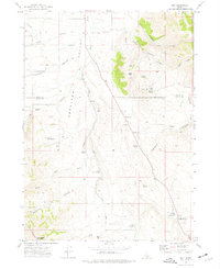
1973 · Roy
USGS Topo · 1:24,000
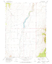
1973 · Stone
USGS Topo · 1:24,000
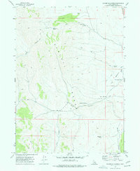
1973 · Badger Hole Spring
USGS Topo · 1:24,000
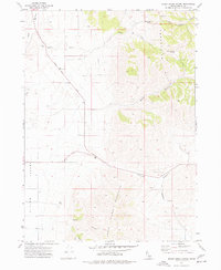
1973 · Sheep Creek Spring
USGS Topo · 1:24,000
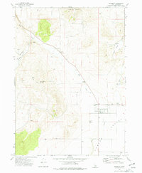
1973 · Holbrook
USGS Topo · 1:24,000
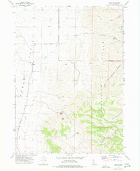
1973 · Buist
USGS Topo · 1:24,000
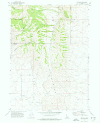
1973 · Cedarhill
USGS Topo · 1:24,000