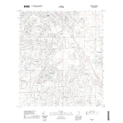
2021 Map of Holder
USGS Topo · Published 2021About this map
Beverly Hills and Citrus Springs anchor this modern landscape in Citrus County, revealing the intricate street patterns of mid-to-late 20th-century residential expansion. The map illustrates a dense network of suburban developments such as Pine Ridge and Citrus Hills, which contrast sharply with the conserved natural corridors of the Withlacoochee State Forest. Near the community of Holder, the Florida National Scenic Trail winds through the terrain, tracing a path through the state forest lands. Genealogists and local historians will find several key burial sites noted, including Burke Cem and the Hernando Cem near Hernando. The presence of Twomile Prairie Lake in the northeast and the gated community of Black Diamond in the southwest highlights the varied land use between protected wetlands and high-end residential planning.
Find a feature on this map
18 named features on this map. Tap any name to fly to it.
Don’t see what you’re looking for? This feature index may not catch every label — zoom into the map to look around manually.
Map Details
Editions of this 2021 Holder Map
This is the sole edition of this map. No revisions or reprints were ever made.
Other maps of this area

1892 · Dunnellon
USGS Topo · 1:62,500

1894 · Dunnellon
USGS Topo · 1:62,500

1895 · Tsala Apopka
USGS Topo · 1:62,500

1954 · Lecanto
USGS Topo · 1:24,000

1954 · Homosassa
USGS Topo · 1:24,000

1954 · Holder
USGS Topo · 1:24,000

1954 · Crystal River
USGS Topo · 1:24,000

1954 · Tsala Apopka NE
USGS Topo · 1:24,000

1954 · Dunnellon
USGS Topo · 1:24,000

1954 · Inverness
USGS Topo · 1:24,000