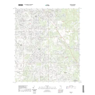
2023 Map of Holder
USGS Topo · Published 2023About this map
Beverly Hills and Citrus Springs anchor this residential landscape in northern Citrus County, showing the dense network of winding suburban drives and loops that characterize the region's late-century development. The map reveals a transition between these concentrated residential pockets and the preserved natural lands of the Withlacoochee State Forest, which occupies the northeastern quadrant. Significant for local historians, several small burial grounds are marked, including Burke Cem near the settlement of Holder and the Hernando Cem situated toward the southeastern corner.
Find a feature on this map
161 named features on this map. Tap any name to fly to it.
Don’t see what you’re looking for? This feature index may not catch every label — zoom into the map to look around manually.
Map Details
Editions of this 2023 Holder Map
This is the sole edition of this map. No revisions or reprints were ever made.
Other maps of this area

1892 · Dunnellon
USGS Topo · 1:62,500

1894 · Dunnellon
USGS Topo · 1:62,500

1895 · Tsala Apopka
USGS Topo · 1:62,500

1954 · Lecanto
USGS Topo · 1:24,000

1954 · Homosassa
USGS Topo · 1:24,000

1954 · Holder
USGS Topo · 1:24,000

1954 · Crystal River
USGS Topo · 1:24,000

1954 · Tsala Apopka NE
USGS Topo · 1:24,000

1954 · Dunnellon
USGS Topo · 1:24,000

1954 · Inverness
USGS Topo · 1:24,000