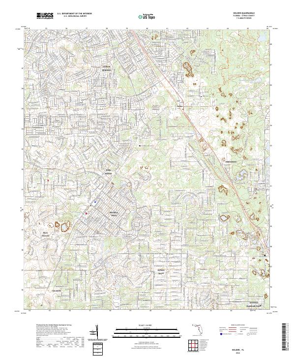
2024 Map of Holder
USGS Topo · Published 2024About this map
Citrus Springs and Beverly Hills anchor this map of central Citrus County, revealing a landscape defined by large-scale residential development and substantial conservation tracts. The dense, winding residential street networks of Pine Ridge and Citrus Hills contrast sharply with the open corridors of the Withlacoochee State Forest, which occupies the eastern portions of the quadrangle. The map captures a moment of modern Florida growth where planned communities are woven into a topography of ancient sandhills and karst features, evidenced by the presence of Twomile Prairie Lake.
Find a feature on this map
23 named features on this map. Tap any name to fly to it.
Don’t see what you’re looking for? This feature index may not catch every label — zoom into the map to look around manually.
Map Details
Editions of this 2024 Holder Map
This is the sole edition of this map. No revisions or reprints were ever made.
Other maps of this area

1892 · Dunnellon
USGS Topo · 1:62,500

1894 · Dunnellon
USGS Topo · 1:62,500

1895 · Tsala Apopka
USGS Topo · 1:62,500

1954 · Lecanto
USGS Topo · 1:24,000

1954 · Homosassa
USGS Topo · 1:24,000

1954 · Holder
USGS Topo · 1:24,000

1954 · Crystal River
USGS Topo · 1:24,000

1954 · Tsala Apopka NE
USGS Topo · 1:24,000

1954 · Dunnellon
USGS Topo · 1:24,000

1954 · Inverness
USGS Topo · 1:24,000