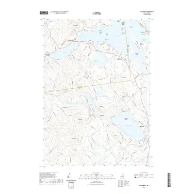
2021 Map of Holderness
USGS Topo · Published 2021About this map
Squam Lake and Little Squam Lake dominate the northern landscape of this map, separated by the village of Holderness where the Squam River Bridge spans the narrow channel. The terrain is a complex series of islands and coves, including Great Island, High Haith, and Sturtevant Bay. To the south, the settlement of Meredith sits near the shores of Lake Waukewan and the Meredith Reservoir, highlighting the area's transition from lakeside recreation to community centers. The map documents numerous named hills and ponds, such as Cotton Mtn, Fogg Hill, and White Oak Pond, which reflect the region's varied elevation. Genealogists may find the Squam Bridge Cem near the town center a point of interest for local family research.
Find a feature on this map
135 named features on this map. Tap any name to fly to it.
Don’t see what you’re looking for? This feature index may not catch every label — zoom into the map to look around manually.
Map Details
Editions of this 2021 Holderness Map
This is the sole edition of this map. No revisions or reprints were ever made.
Other maps of this area

1909 · Winnepesaukee
USGS Topo · 1:62,500

1925 · Holderness
USGS Topo · 1:62,500

1927 · Holderness
USGS Topo · 1:62,500

1928 · Plymouth
USGS Topo · 1:62,500

1931 · Plymouth
USGS Topo · 1:62,500

1931 · Mt. Chocorua
USGS Topo · 1:62,500

1949 · Portland
USGS Topo · 1:250,000

1956 · Winnipesaukee
USGS Topo · 1:62,500

1956 · Holderness
USGS Topo · 1:62,500

1956 · Portland
USGS Topo · 1:250,000