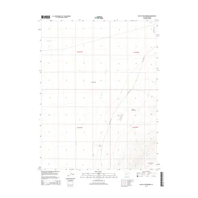
2014 Map of Hole in the Ground
USGS Topo · Published 2014About this map
Snake Valley defines the western expanse of this Millard County landscape, a broad basin where ephemeral drainages like Hendrys Cr and Baker Cr descend from higher elevations. In the southeast, the terrain transitions into the high, contoured ridges of the Conger Range, where the eponymous Hole in the Ground is situated. This region is marked by its sparse network of high-desert infrastructure, primarily consisting of unpaved routes such as Knoll Springs Rd and Petra Rd that navigate the varied topography. The presence of Knoll Springs in the northeast corner highlights the critical role of isolated water sources in this arid environment, providing a geographic anchor for those tracking land use and resource management in the Great Basin during the early 21st century.
Find a feature on this map
13 named features on this map. Tap any name to fly to it.
Don’t see what you’re looking for? This feature index may not catch every label — zoom into the map to look around manually.
Map Details
Editions of this 2014 Hole in the Ground Map
This is the sole edition of this map. No revisions or reprints were ever made.
Other maps of this area

1908 · Fish Springs
USGS Topo · 1:250,000

1910 · Fish Springs
USGS Topo · 1:250,000

1953 · Delta
USGS Topo · 1:250,000

1956 · Ely
USGS Topo · 1:250,000

1958 · Delta
USGS Topo · 1:250,000

1959 · Ely
USGS Topo · 1:250,000

1960 · Conger Range
USGS Topo · 1:62,500

1960 · Gandy
USGS Topo · 1:62,500

1962 · Delta
USGS Topo · 1:250,000

1963 · Ely
USGS Topo · 1:250,000