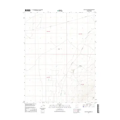
2017 Map of Hole in the Ground
USGS Topo · Published 2017About this map
Snake Valley dominates the central portion of this 2017 survey of Millard County, showing a sparse desert landscape defined more by its historical transit routes than by permanent settlements. The map traces the path of Old 6 & 50, a reminder of the early transcontinental highway system that once bridged these remote stretches of the Great Basin. To the east, the rising topography of the Conger Range and the curious depression known as Hole in the Ground provide striking vertical contrast to the level valley floor. Water features like Baker Cr and Hendrys Cr are intermittent markers in an arid environment, where drainage patterns are often the only guides across the land. This edition preserves the modern road network, including Knoll Springs Rd, alongside the legacy of the original highways that facilitated westward expansion through this corner of Utah.
Find a feature on this map
11 named features on this map. Tap any name to fly to it.
Don’t see what you’re looking for? This feature index may not catch every label — zoom into the map to look around manually.
Map Details
Editions of this 2017 Hole in the Ground Map
This is the sole edition of this map. No revisions or reprints were ever made.
Other maps of this area

1908 · Fish Springs
USGS Topo · 1:250,000

1910 · Fish Springs
USGS Topo · 1:250,000

1953 · Delta
USGS Topo · 1:250,000

1956 · Ely
USGS Topo · 1:250,000

1958 · Delta
USGS Topo · 1:250,000

1959 · Ely
USGS Topo · 1:250,000

1960 · Conger Range
USGS Topo · 1:62,500

1960 · Gandy
USGS Topo · 1:62,500

1962 · Delta
USGS Topo · 1:250,000

1963 · Ely
USGS Topo · 1:250,000