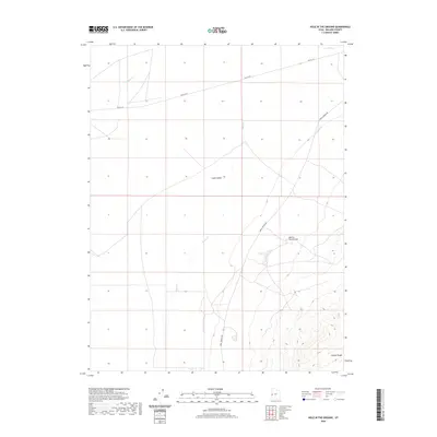
2020 Map of Hole in the Ground
USGS Topo · Published 2020About this map
Snake Valley and the northern reaches of the Conger Range define this high-desert landscape in western Millard County. The map documents the arid topography where seasonal watercourses like Baker Cr and Hendrys Cr descend from the surrounding heights toward the basin floor. Historically significant travel routes are captured in their modern context, including the stretch of Old 6 & 50 and the remote Knoll Springs Rd, which provides access to the isolated Knoll Springs in the northeastern corner of the quadrangle. The namesake feature, Hole in the Ground, sits centrally as a distinctive topographic depression, illustrating the geologic character of the Great Basin. This recent survey is a clear record of the area's hydrology and sparse road network as they existed in the early twenty-first century.
Find a feature on this map
8 named features on this map. Tap any name to fly to it.
Don’t see what you’re looking for? This feature index may not catch every label — zoom into the map to look around manually.
Map Details
Editions of this 2020 Hole in the Ground Map
This is the sole edition of this map. No revisions or reprints were ever made.
Other maps of this area

1908 · Fish Springs
USGS Topo · 1:250,000

1910 · Fish Springs
USGS Topo · 1:250,000

1953 · Delta
USGS Topo · 1:250,000

1956 · Ely
USGS Topo · 1:250,000

1958 · Delta
USGS Topo · 1:250,000

1959 · Ely
USGS Topo · 1:250,000

1960 · Conger Range
USGS Topo · 1:62,500

1960 · Gandy
USGS Topo · 1:62,500

1962 · Delta
USGS Topo · 1:250,000

1963 · Ely
USGS Topo · 1:250,000