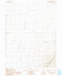
1991 Map of Hole In The Ground
USGS Topo · Published 1991About this map
Snake Valley serves as the focal point of this arid Great Basin landscape, situated along the edge of the Conger Range. The survey documents a series of water resources essential for life in the high desert, from the perennial flow of Baker Creek and Snake Creek to the cluster of isolated wells scattered across the valley floor. The most distinctive landmark, Hole in the Ground, sits tucked against the rising slopes to the east.
Find a feature on this map
14 named features on this map. Tap any name to fly to it.
Don’t see what you’re looking for? This feature index may not catch every label — zoom into the map to look around manually.
Map Details
Editions of this 1991 Hole In The Ground Map
This is the sole edition of this map. No revisions or reprints were ever made.
Other maps of this area

1908 · Fish Springs
USGS Topo · 1:250,000

1910 · Fish Springs
USGS Topo · 1:250,000

1953 · Delta
USGS Topo · 1:250,000

1956 · Ely
USGS Topo · 1:250,000

1958 · Delta
USGS Topo · 1:250,000

1959 · Ely
USGS Topo · 1:250,000

1960 · Conger Range
USGS Topo · 1:62,500

1960 · Gandy
USGS Topo · 1:62,500

1962 · Delta
USGS Topo · 1:250,000

1963 · Ely
USGS Topo · 1:250,000