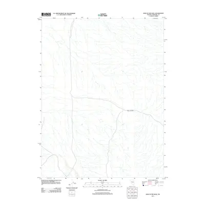
2011 Map of Hole In The Wall
USGS Topo · Published 2011About this map
Hole in the Wall serves as the central landmark for this arid expanse of Churchill County, where the desert landscape is defined by a complex network of ephemeral drainage patterns. This 2011 survey illustrates the stark terrain characteristic of the Nevada Great Basin, revealing a high-elevation environment where water movement is seasonal and highly dispersed. The map captures the intersection of primitive four-wheel-drive trails and local roads that traverse the basin, marking the routes used by ranchers and outdoorsmen in this corner of the state. Unlike earlier historical maps that might focus on mining claims or homesteads, this modern edition prioritizes precise topographical relief and the natural hydrography of the region's washes and seasonal streams.
Find a feature on this map
1 named feature on this map. Tap any name to fly to it.
Don’t see what you’re looking for? This feature index may not catch every label — zoom into the map to look around manually.
Map Details
Editions of this 2011 Hole In The Wall Map
This is the sole edition of this map. No revisions or reprints were ever made.
Other maps of this area

1932 · Sonoma Range
USGS Topo · 1:250,000

1939 · Sonoma Range
USGS Topo · 1:250,000

1955 · Millett
USGS Topo · 1:250,000

1955 · Winnemucca
USGS Topo · 1:250,000

1958 · Winnemucca
USGS Topo · 1:250,000

1959 · Millett
USGS Topo · 1:250,000

1961 · Cain Mountain
USGS Topo · 1:62,500

1961 · Fencemaker
USGS Topo · 1:62,500

1962 · Winnemucca
USGS Topo · 1:250,000

1966 · Humboldt Salt Marsh
USGS Topo · 1:62,500