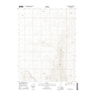
2014 Map of Hole In The Wall
USGS Topo · Published 2014About this map
The Clan Alpine Mountains define the eastern portion of this high-desert landscape in Churchill County. This Great Basin terrain transitions from the rugged heights of the range down into the broad expanse of Dixie Valley to the west. A specific geological landmark known as Hole in the Wall is situated along the western slopes, providing a distinct navigational point within the mountain front. The area is characterized by vast open land managed under the Public Land Survey System, with the Dixie Valley E Rd providing the primary thoroughfare through the valley floor. The map illustrates a classic Nevada basin-and-range profile, where significant elevation changes occur over short distances between the mountain peaks and the desert flats.
Find a feature on this map
10 named features on this map. Tap any name to fly to it.
Don’t see what you’re looking for? This feature index may not catch every label — zoom into the map to look around manually.
Map Details
Editions of this 2014 Hole In The Wall Map
This is the sole edition of this map. No revisions or reprints were ever made.
Other maps of this area

1932 · Sonoma Range
USGS Topo · 1:250,000

1939 · Sonoma Range
USGS Topo · 1:250,000

1955 · Millett
USGS Topo · 1:250,000

1955 · Winnemucca
USGS Topo · 1:250,000

1958 · Winnemucca
USGS Topo · 1:250,000

1959 · Millett
USGS Topo · 1:250,000

1961 · Cain Mountain
USGS Topo · 1:62,500

1961 · Fencemaker
USGS Topo · 1:62,500

1962 · Winnemucca
USGS Topo · 1:250,000

1966 · Humboldt Salt Marsh
USGS Topo · 1:62,500