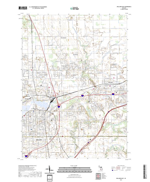
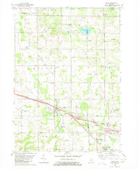
2023 Map of Holland East
USGS Topo · Published 2023About this map
Educational and religious institutions anchor the urban landscape in Holland, where Hope College and the Western Theological Seminary stand near the southern banks of the Macatawa River. To the north and east, the transition from city to agricultural land is marked by numerous historically significant burial grounds, including the Noordeloos Cem and the New Groningen Cem. The map illustrates the complex drainage systems characteristic of this coastal region, such as the Bosch and Hulst Drain and the Northwest of Zeeland Drain, which manage the water table for the surrounding farms.
Find a feature on this map
106 named features on this map. Tap any name to fly to it.
Don’t see what you’re looking for? This feature index may not catch every label — zoom into the map to look around manually.
Map Details
Editions of this 2023 Holland East Map
This is the sole edition of this map. No revisions or reprints were ever made.
Historical Maps of Zeeland Charter Township Through Time
14 maps found
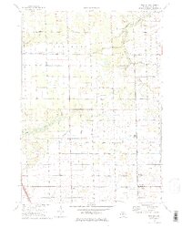
1972 Borculo
Ottawa County, MI
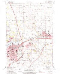
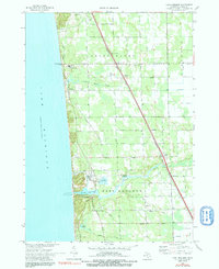
1972 Holland East
Ottawa County, MI
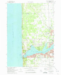
1972 Holland West
Ottawa County, MI
1972 Port Sheldon
Ottawa County, MI
1980 Hudsonville East
Ottawa County, MI
1980 Hudsonville West
Ottawa County, MI
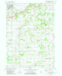
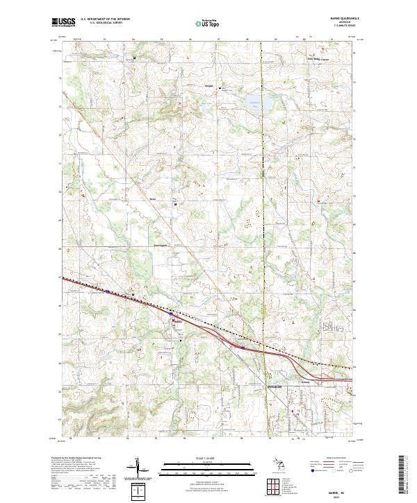
1980 Marne
Ottawa County, MI
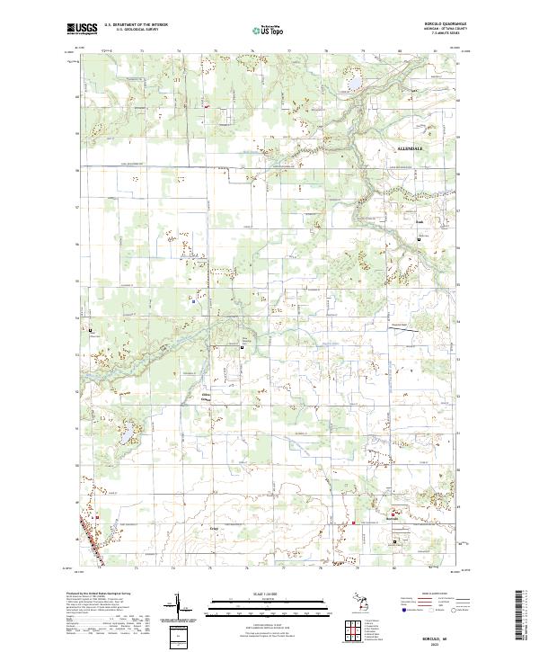
2023 Borculo
Ottawa County, MI
2023 Holland East
Ottawa County, MI
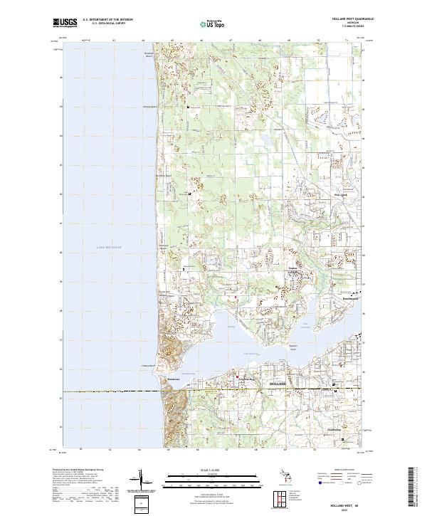
2023 Holland West
Ottawa County, MI
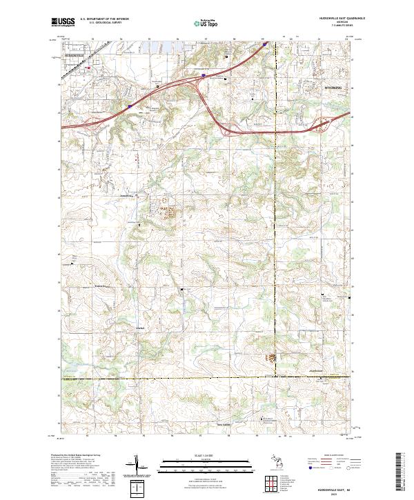
2023 Hudsonville East
Ottawa County, MI
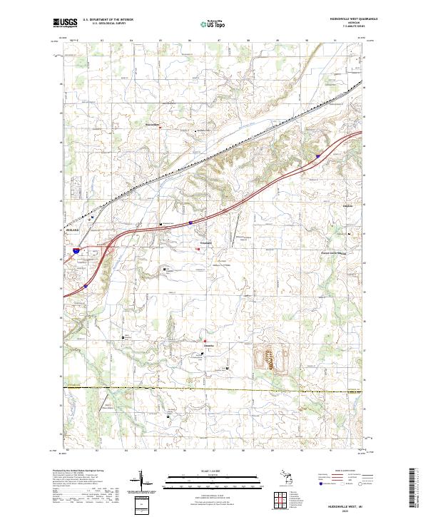
2023 Hudsonville West
Ottawa County, MI
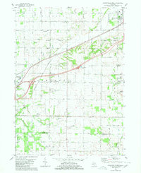
2023 Marne
Ottawa County, MI
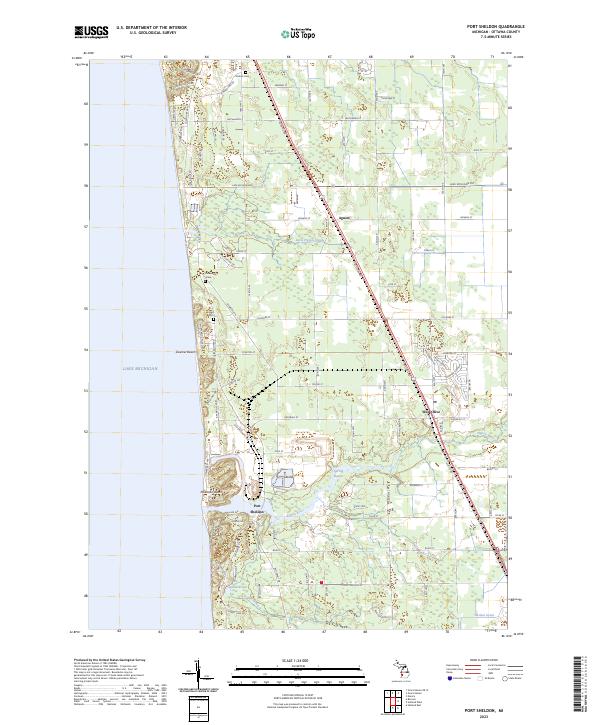
2023 Port Sheldon
Ottawa County, MI