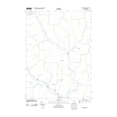
2010 Map of Hollandale
USGS Topo · Published 2010About this map
Hollandale serves as the primary hub in this Iowa County landscape, situated at the confluence where the East Branch Pecatonica River meets Dodge Branch. The geography is defined by a series of distinct valleys, including Jones Valley, Spring Valley, Banner Valley, and Star Valley, each following the winding courses of local waterways. These drainages, such as Smith Conley Creek and Urnus Creek, dictate the rural road network and the placement of agricultural landmarks like the Nelson G 7414 Dam.
Find a feature on this map
56 named features on this map. Tap any name to fly to it.
Don’t see what you’re looking for? This feature index may not catch every label — zoom into the map to look around manually.
Map Details
Editions of this 2010 Hollandale Map
This is the sole edition of this map. No revisions or reprints were ever made.
Other maps of this area

1902 · Mineral Point
USGS Topo · 1:125,000

1905 · Richland Center
USGS Topo · 1:125,000

1920 · Blue Mounds
USGS Topo · 1:62,500

1922 · Blue Mounds
USGS Topo · 1:62,500

1923 · Blanchardville
USGS Topo · 1:62,500

1954 · Rockford
USGS Topo · 1:250,000

1955 · Rockford
USGS Topo · 1:250,000

1957 · Madison
USGS Topo · 1:250,000

1958 · Rockford
USGS Topo · 1:250,000

1958 · La Crosse
USGS Topo · 1:250,000