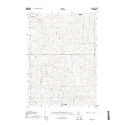
2018 Map of Hollandale
USGS Topo · Published 2018About this map
The East Branch Pecatonica River and its numerous tributaries carve a complex series of valleys through Iowa County, defining the geography of this driftless region. Along the northern ridge, the settlements of Ridgeway and Barneveld sit atop the high ground, while Hollandale is situated at the southern confluence of these drainages. The landscape is a network of named hollows including Jones Valley, Spring Valley, and Banner Valley, illustrating how the local terrain dictated early road placement and property boundaries. Genealogists and historians can identify local landmarks like the Long Valley Cem and Ryan Spring, alongside family-named routes such as McSherry Nhles Rd and Schurch Rd. The map detail traces the intricate relationship between the winding waterways, like Smith Conley Cr and Dodge Branch, and the rural infrastructure that follows the contours of the land.
Find a feature on this map
61 named features on this map. Tap any name to fly to it.
Don’t see what you’re looking for? This feature index may not catch every label — zoom into the map to look around manually.
Map Details
Editions of this 2018 Hollandale Map
This is the sole edition of this map. No revisions or reprints were ever made.
Other maps of this area

1902 · Mineral Point
USGS Topo · 1:125,000

1905 · Richland Center
USGS Topo · 1:125,000

1920 · Blue Mounds
USGS Topo · 1:62,500

1922 · Blue Mounds
USGS Topo · 1:62,500

1923 · Blanchardville
USGS Topo · 1:62,500

1954 · Rockford
USGS Topo · 1:250,000

1955 · Rockford
USGS Topo · 1:250,000

1957 · Madison
USGS Topo · 1:250,000

1958 · Rockford
USGS Topo · 1:250,000

1958 · La Crosse
USGS Topo · 1:250,000