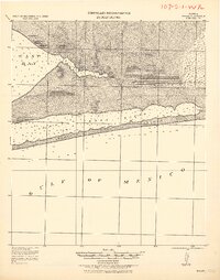
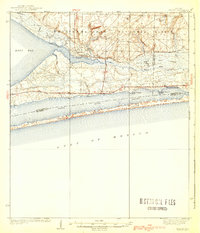
1921 Map of Holley
USGS Topo · Published 1921About this map
Holley and the small coastal outposts of Harper and Hiawatha anchor this reconnaissance of the Florida panhandle's shoreline in the early 1920s. The landscape is defined by the shallow waters of East Bay and the meandering course of the East Bay River, which drains through a complex system of wetlands and coastal prairies. Along the southern edge, the narrow barrier of Santa Rosa Island separates the quiet Santa Rosa Sound from the open Gulf of Mexico. This survey, compiled by the Corps of Engineers, U. S. Army under Col. W. M. Black, provides a detailed record of coastal soundings and the sparsely settled interior. Researchers can trace early infrastructure through family-named points like Harris and Manatee Pt, or follow the drainage patterns of Prairie Creek and Turtle Creek as they existed before modern shoreline development transformed the region.
Find a feature on this map
12 named features on this map. Tap any name to fly to it.
Don’t see what you’re looking for? This feature index may not catch every label — zoom into the map to look around manually.
Map Details
Editions of this 1921 Holley Map
This is the sole edition of this map. No revisions or reprints were ever made.
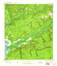
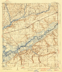
Other maps of this area

1920 · Milton
USGS Topo · 1:62,500

1921 · Pensacola
USGS Topo · 1:62,500

1934 · Holt
USGS Topo · 1:48,000
1934 · Harold
USGS Topo · 1:62,500
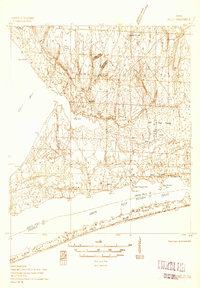
1936 · Holley
USGS Topo · 1:48,000

1937 · Holt
USGS Topo · 1:62,500
1937 · Harold
USGS Topo · 1:62,500

1938 · Mary Esther
USGS Topo · 1:62,500
1938 · Holley
USGS Topo · 1:62,500
1938 · Harold
USGS Topo · 1:62,500