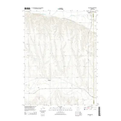
2014 Map of Hollinger
USGS Topo · Published 2014About this map
The Republican River cuts through the northern edge of this Nebraska landscape, defining the topography near the town of Oxford. South of the river, the terrain transitions into a complex series of draws and ridges, punctuated by water management features like Cadwalder Reservoir and Sturtevant Reservoir. The small community of Hollinger sits further south along Beaver Cr, where the valley floor widens. This area is characterized by a high-density rural road network, including Road 713 and Road 715, which service the agricultural lands bridging the Furnas and Harlan county lines. Local history researchers will note the Turner Cem located west of Hollinger, a quiet marker of the families who settled this portion of the Republican Valley and its tributaries.
Find a feature on this map
29 named features on this map. Tap any name to fly to it.
Don’t see what you’re looking for? This feature index may not catch every label — zoom into the map to look around manually.
Map Details
Editions of this 2014 Hollinger Map
This is the sole edition of this map. No revisions or reprints were ever made.
Other maps of this area

1896 · Arapahoe
USGS Topo · 1:125,000

1898 · Arapahoe
USGS Topo · 1:125,000

1955 · Grand Island
USGS Topo · 1:250,000

1957 · Grand Island
USGS Topo · 1:250,000

1957 · Precept
USGS Topo · 1:24,000

1957 · Beaver City SE
USGS Topo · 1:24,000

1957 · Stamford SE
USGS Topo · 1:24,000

1958 · Grand Island
USGS Topo · 1:250,000

1958 · Edison
USGS Topo · 1:24,000

1958 · Hollinger
USGS Topo · 1:24,000