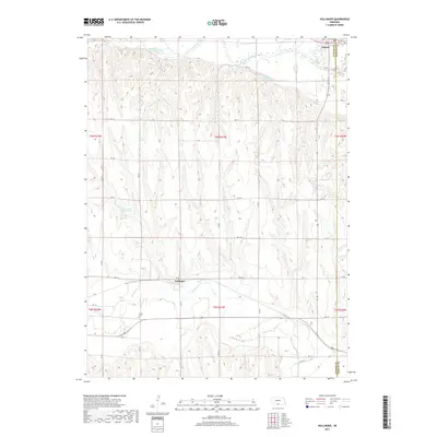
2017 Map of Hollinger
USGS Topo · Published 2017About this map
Republican River floodplains and the dissecting drainages of the southern Nebraska loess plains define this 2017 survey. The town of Oxford sits at the northern edge of the map where the river valley widens, while the smaller settlement of Hollinger is situated further south along the banks of Beaver Cr. The terrain is marked by a complex network of section-line roads, such as RD 713, which cross the rolling uplands between the two major watercourses. For those researching local family history, Turner Cem provides a specific point of interest in the southern portion of the quadrangle. Significant water management features are evident across the landscape, including Cadwalader Reservoir and Sturtevant Reservoir, illustrating the region's reliance on captured surface water for agricultural sustainability in this portion of the Great Plains.
Find a feature on this map
28 named features on this map. Tap any name to fly to it.
Don’t see what you’re looking for? This feature index may not catch every label — zoom into the map to look around manually.
Map Details
Editions of this 2017 Hollinger Map
This is the sole edition of this map. No revisions or reprints were ever made.
Other maps of this area

1896 · Arapahoe
USGS Topo · 1:125,000

1898 · Arapahoe
USGS Topo · 1:125,000

1955 · Grand Island
USGS Topo · 1:250,000

1957 · Grand Island
USGS Topo · 1:250,000

1957 · Precept
USGS Topo · 1:24,000

1957 · Beaver City SE
USGS Topo · 1:24,000

1957 · Stamford SE
USGS Topo · 1:24,000

1958 · Grand Island
USGS Topo · 1:250,000

1958 · Edison
USGS Topo · 1:24,000

1958 · Hollinger
USGS Topo · 1:24,000