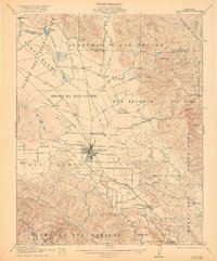
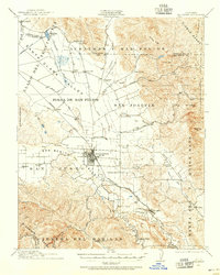
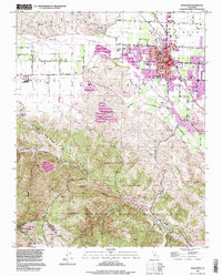
1921 Map of Hollister
USGS Topo · Published 1921About this map
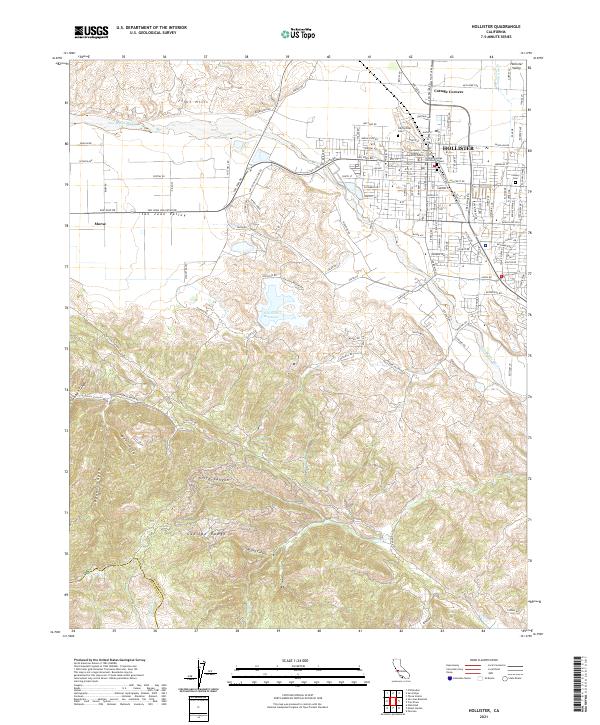
The agricultural heart of San Benito County is captured in detail during the early 1920s, centered on the growing town of Hollister. The Southern Pacific railroad serves as the primary artery for the region, connecting smaller hubs like Tres Pinos and Dunneville to the broader California market. The landscape is defined by its transition from the flatlands of Bolsa de San Felipe to the rising elevations of the Diablo Range and Gabilan Range.
Find a feature on this map
60 named features on this map. Tap any name to fly to it.
Don’t see what you’re looking for? This feature index may not catch every label — zoom into the map to look around manually.
Map Details
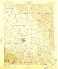
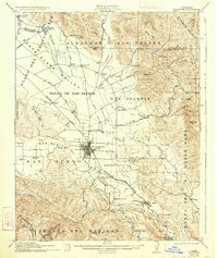
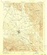
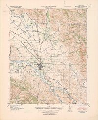
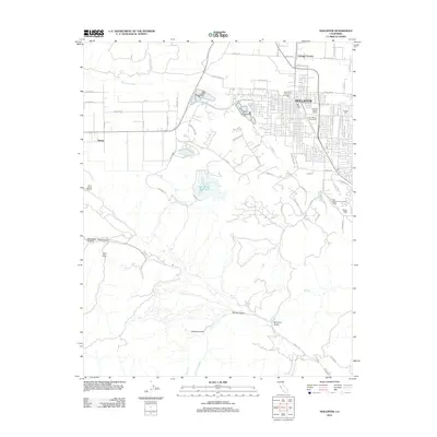
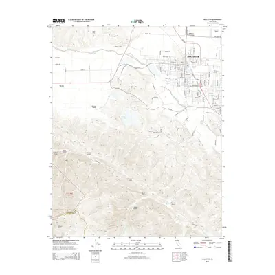
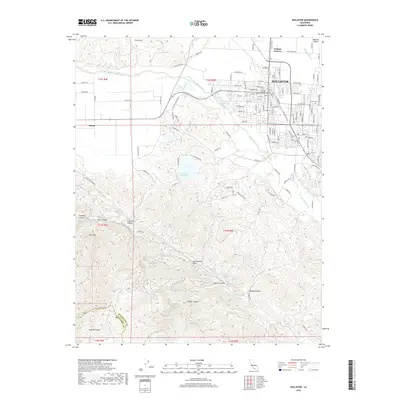
Editions of this 1921 Hollister Map
4 editions found
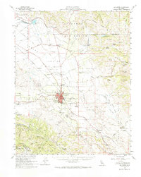
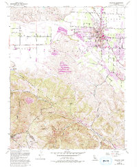
Historical Maps of Hollister Through Time
11 maps found

1919 Hollister
San Benito County, CA
1921 Hollister
San Benito County, CA
1923 Hollister
San Benito County, CA
1940 Hollister
San Benito County, CA
1955 Hollister
San Benito County, CA
1955 Hollister
San Benito County, CA
1995 Hollister
San Benito County, CA
2012 Hollister
San Benito County, CA
2015 Hollister
San Benito County, CA
2018 Hollister
San Benito County, CA
2021 Hollister
San Benito County, CA