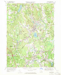
1969 Map of Holliston
USGS Topo · Published 1971About this map
Holliston serves as the central hub of this late-1960s landscape, where the Penn Central rail line cuts a path through the rolling terrain of Middlesex and Norfolk Counties. The map reveals a dense network of local schools and civic landmarks, from the Miller Sch to the High Sch, alongside numerous spiritual and memorial sites like St Marys Cem and the Sacred Heart Ch in the southwest.
Find a feature on this map
84 named features on this map. Tap any name to fly to it.
Don’t see what you’re looking for? This feature index may not catch every label — zoom into the map to look around manually.
Map Details
Editions of this 1969 Holliston Map
2 editions found
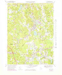
Other maps of this area

1886 · Blackstone
USGS Topo · 1:62,500

1886 · Framingham
USGS Topo · 1:62,500

1887 · Franklin
USGS Topo · 1:62,500

1887 · Marlboro
USGS Topo · 1:62,500

1889 · Marlboro
USGS Topo · 1:62,500

1889 · Blackstone
USGS Topo · 1:62,500

1889 · Franklin
USGS Topo · 1:62,500

1889 · Framingham
USGS Topo · 1:62,500

1893 · Franklin
USGS Topo · 1:62,500

1893 · Blackstone
USGS Topo · 1:62,500