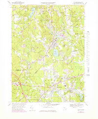
1969 Map of Holliston
USGS Topo · Published 1979About this map
Lake Winthrop and the surrounding marshlands of Cedar Swamp define the geographic heart of this Massachusetts region. The 1969 survey captures the developed town centers of Holliston and Medway, connected by a network of local roads and the Conrail line. Of particular interest to genealogists are the numerous burial grounds, including the historic Indian Cem, West Cem, and Center Cem.
Find a feature on this map
131 named features on this map. Tap any name to fly to it.
Don’t see what you’re looking for? This feature index may not catch every label — zoom into the map to look around manually.
Map Details
Editions of this 1969 Holliston Map
2 editions found
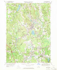
Other maps of this area

1886 · Blackstone
USGS Topo · 1:62,500

1886 · Framingham
USGS Topo · 1:62,500

1887 · Franklin
USGS Topo · 1:62,500

1887 · Marlboro
USGS Topo · 1:62,500

1889 · Marlboro
USGS Topo · 1:62,500

1889 · Blackstone
USGS Topo · 1:62,500

1889 · Franklin
USGS Topo · 1:62,500

1889 · Framingham
USGS Topo · 1:62,500

1893 · Franklin
USGS Topo · 1:62,500

1893 · Blackstone
USGS Topo · 1:62,500