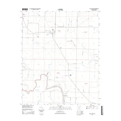
2014 Map of Holly Grove
USGS Topo · Published 2014About this map
Holly Grove serves as the central hub of this eastern Arkansas landscape, where the flat alluvial plains are defined by an intricate network of sloughs, bayous, and "slashes." The mapping of local slashes like Boat Gunwale Slash, Persimmon Slash, and Ash Slash reveals the seasonal drainage patterns critical to the region's agricultural life. To the south, the settlement of Lawrenceville sits near the winding course of Maddox Bay and Cooter Lake, highlighting a shoreline environment dominated by oxbows and bottomland water bodies such as Upper Eagle Nest Lake.
Find a feature on this map
76 named features on this map. Tap any name to fly to it.
Don’t see what you’re looking for? This feature index may not catch every label — zoom into the map to look around manually.
Map Details
Editions of this 2014 Holly Grove Map
This is the sole edition of this map. No revisions or reprints were ever made.
Other maps of this area
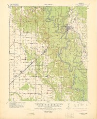
1935 · Clarendon
USGS Topo · 1:62,500
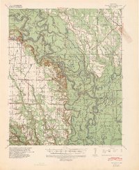
1939 · Indian Bay
USGS Topo · 1:62,500
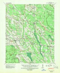
1940 · Holly Grove
USGS Topo · 1:62,500
1941 · De Witt
USGS Topo · 1:62,500
1941 · Clarendon
USGS Topo · 1:62,500
1948 · Helena
USGS Topo · 1:250,000
1950 · Helena
USGS Topo · 1:250,000
1954 · Indian Bay
USGS Topo · 1:62,500
1954 · De Witt
USGS Topo · 1:62,500
1955 · Helena
USGS Topo · 1:250,000