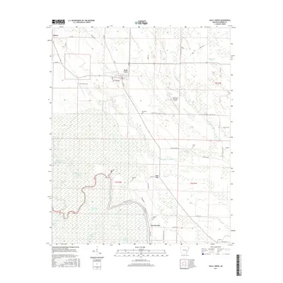
2017 Map of Holly Grove
USGS Topo · Published 2017About this map
Holly Grove serves as the central hub of this Monroe County landscape, where the flat alluvial geography of eastern Arkansas is defined by an intricate network of wetlands and bayous. The southern half of the map transition into the expansive White River floodplain environment, characterized by numerous slashes and sloughs such as Boat Gunwale Slash, Ash Slash, and Bear Camp Slough. This area is a patchwork of agricultural fields and dense riparian zones, with small settlements like Lawrenceville and Deep Elm marking the higher ground near the waterways.
Find a feature on this map
57 named features on this map. Tap any name to fly to it.
Don’t see what you’re looking for? This feature index may not catch every label — zoom into the map to look around manually.
Map Details
Editions of this 2017 Holly Grove Map
This is the sole edition of this map. No revisions or reprints were ever made.
Other maps of this area

1935 · Clarendon
USGS Topo · 1:62,500

1939 · Indian Bay
USGS Topo · 1:62,500

1940 · Holly Grove
USGS Topo · 1:62,500

1941 · De Witt
USGS Topo · 1:62,500

1941 · Clarendon
USGS Topo · 1:62,500

1948 · Helena
USGS Topo · 1:250,000

1950 · Helena
USGS Topo · 1:250,000

1954 · Indian Bay
USGS Topo · 1:62,500

1954 · De Witt
USGS Topo · 1:62,500

1955 · Helena
USGS Topo · 1:250,000