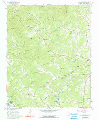
1963 Map of Holly Springs
USGS Topo · Published 1991About this map
The Chauga River and its numerous tributaries dominate this Oconee County landscape, where the Sumter National Forest boundary meets small agricultural settlements. The transition from the higher elevations of Nancy Long Mtn and Wells Mtn in the north toward the newly formed Hartwell Reservoir in the southwest illustrates a period of significant hydraulic change. Cultural life is anchored by a dense network of country churches and schools, such as Holly Springs Sch, Travelers Rest Ch, and New Promised Land Cem. The Southern railroad line cuts through the southern reaches near Madison, connecting the rural interior to broader markets. This 1963 survey, photoinspected in 1982, captures the region just as the reservoir began to redefine the drainage patterns of the Tugaloo R and its surrounding valleys.
Find a feature on this map
67 named features on this map. Tap any name to fly to it.
Don’t see what you’re looking for? This feature index may not catch every label — zoom into the map to look around manually.
Map Details
Editions of this 1963 Holly Springs Map
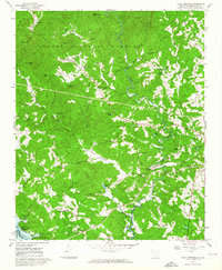
2 editions found
Other maps of this area

1886 · Walhalla
USGS Topo · 1:125,000

1892 · Walhalla
USGS Topo · 1:125,000

1896 · Walhalla
USGS Topo · 1:125,000

1954 · Greenville
USGS Topo · 1:250,000

1957 · Tugaloo Lake
USGS Topo · 1:24,000
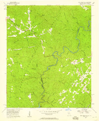
1957 · Rainy Mountain
USGS Topo · 1:24,000

1958 · Greenville
USGS Topo · 1:250,000
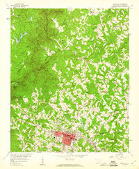
1959 · Walhalla
USGS Topo · 1:24,000
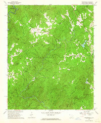
1961 · Whetstone
USGS Topo · 1:24,000
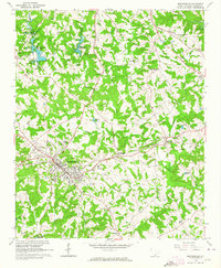
1963 · Westminster
USGS Topo · 1:24,000