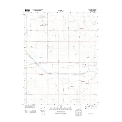
2013 Map of Holly West
USGS Topo · Published 2013About this map
Arkansas River valley agriculture dominates this Prowers County landscape, where an intricate web of irrigation works supports the high plains settlements of Hartman and Holly. The map reveals a highly engineered water system essential to the region, featuring the Amity Canal, Buffalo Canal, and numerous family and place-named laterals like the Swede Lateral and Jones Lateral. These waterways parallel the river and the path of Us-50 E, defining the rural grid that connects the small community of Barton to the larger surrounding agricultural tracts.
Find a feature on this map
58 named features on this map. Tap any name to fly to it.
Don’t see what you’re looking for? This feature index may not catch every label — zoom into the map to look around manually.
Map Details
Editions of this 2013 Holly West Map
This is the sole edition of this map. No revisions or reprints were ever made.
Other maps of this area
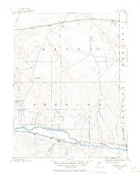
1890 · Granada
USGS Topo · 1:125,000
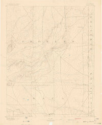
1891 · Albany
USGS Topo · 1:125,000
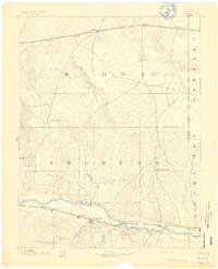
1892 · Granada
USGS Topo · 1:125,000
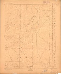
1893 · Albany
USGS Topo · 1:125,000
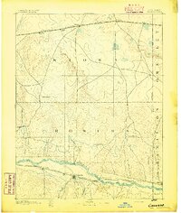
1894 · Granada
USGS Topo · 1:125,000
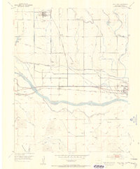
1953 · Holly West
USGS Topo · 1:24,000
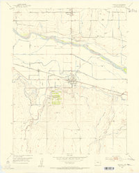
1953 · Granada
USGS Topo · 1:24,000
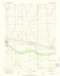
1953 · Holly East
USGS Topo · 1:24,000

1954 · Lamar
USGS Topo · 1:250,000
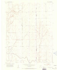
1955 · Holly NE
USGS Topo · 1:24,000