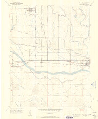
1955 Map of Holly NE
USGS Topo · Published 1956About this map
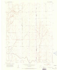
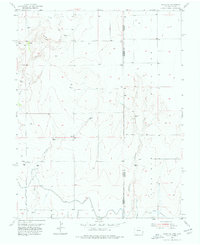
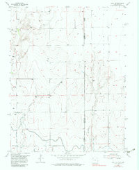
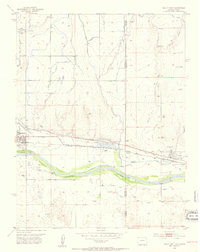
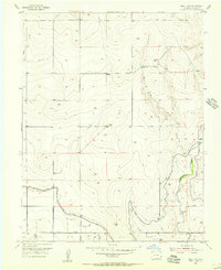
Amity Canal and the irrigation infrastructure of the Arkansas River valley dominate this mid-century landscape on the Colorado-Kansas border. The presence of both the active canal and the Amity Canal (Aband) segments, alongside the Hart Lateral and a protective Levee, indicates a sophisticated water management system critical to high-plains agriculture in Prowers Co. The terrain is defined by the gradual rise toward Coolidge Ridge in the east, dissected by ephemeral drainages such as Wild Horse Creek, East Horse Creek, and Cheyenne Creek.
Find a feature on this map
14 named features on this map. Tap any name to fly to it.
Don’t see what you’re looking for? This feature index may not catch every label — zoom into the map to look around manually.
Map Details
Editions of this 1955 Holly NE Map
3 editions found
Other maps of this area

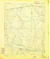
1890 · Granada
USGS Topo · 1:125,000
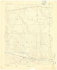
1892 · Granada
USGS Topo · 1:125,000
1894 · Granada
USGS Topo · 1:125,000
1953 · Holly West
USGS Topo · 1:24,000
1953 · Holly East
USGS Topo · 1:24,000

1954 · Lamar
USGS Topo · 1:250,000
1955 · Holly NW
USGS Topo · 1:24,000

1955 · Scott City
USGS Topo · 1:250,000

1958 · Lamar
USGS Topo · 1:250,000

1958 · Scott City
USGS Topo · 1:250,000