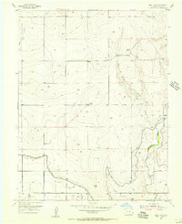
1955 Map of Holly NW
USGS Topo · Published 1956About this map
Agricultural development in the High Plains of Prowers County is clearly defined on this mid-1950s survey. The landscape is dominated by a complex network of irrigation infrastructure essential to prairie farming, including the Amity Canal, Deadman Ditch, and Chenoweth Ditch. These man-made channels snake across the terrain, accompanied by a dedicated Road on Levee system and structures like a Flood Gate and Flume.
Find a feature on this map
26 named features on this map. Tap any name to fly to it.
Don’t see what you’re looking for? This feature index may not catch every label — zoom into the map to look around manually.
Map Details
Editions of this 1955 Holly NW Map
2 editions found
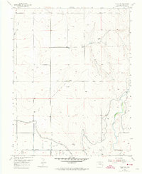
Other maps of this area

1890 · Granada
USGS Topo · 1:125,000

1892 · Granada
USGS Topo · 1:125,000

1894 · Granada
USGS Topo · 1:125,000

1953 · Holly West
USGS Topo · 1:24,000

1953 · Granada
USGS Topo · 1:24,000

1953 · Holly East
USGS Topo · 1:24,000

1954 · Lamar
USGS Topo · 1:250,000

1955 · Holly NE
USGS Topo · 1:24,000

1955 · Granada NE
USGS Topo · 1:24,000

1958 · Lamar
USGS Topo · 1:250,000