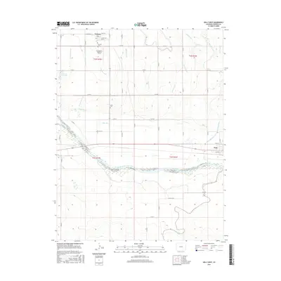
2016 Map of Holly West
USGS Topo · Published 2016About this map
The Arkansas River and its complex network of irrigation ditches define the high plains landscape of Prowers County in this 2016 survey. In the northern reaches of the quadrangle, the town of Hartman sits along W Railroad Ave, served by the Hartman Cem and the Air-Sprayers Number 2 Airport. The land here is meticulously partitioned by water-management features like the Amity Canal, Millwood Ditch, and Holly Ditch, reflecting the region's agricultural dependency. To the southeast, the town of Holly is mapped at its western edge, bounded by Wild Horse Cr. The presence of small burial grounds like Amity Cem and water bodies such as Romer Reservoir and Verhoeff Reservoir provide clear landmarks for local history researchers and genealogists tracing the settlement patterns of this river valley.
Find a feature on this map
55 named features on this map. Tap any name to fly to it.
Don’t see what you’re looking for? This feature index may not catch every label — zoom into the map to look around manually.
Map Details
Editions of this 2016 Holly West Map
This is the sole edition of this map. No revisions or reprints were ever made.
Other maps of this area
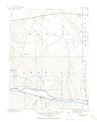
1890 · Granada
USGS Topo · 1:125,000
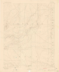
1891 · Albany
USGS Topo · 1:125,000
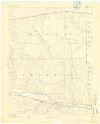
1892 · Granada
USGS Topo · 1:125,000
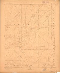
1893 · Albany
USGS Topo · 1:125,000
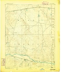
1894 · Granada
USGS Topo · 1:125,000
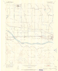
1953 · Holly West
USGS Topo · 1:24,000
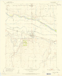
1953 · Granada
USGS Topo · 1:24,000
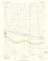
1953 · Holly East
USGS Topo · 1:24,000

1954 · Lamar
USGS Topo · 1:250,000
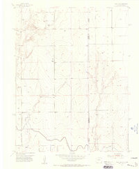
1955 · Holly NE
USGS Topo · 1:24,000