2019 Map of Holly West
USGS Topo · Published 2019About this map
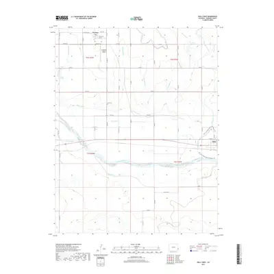
The Arkansas River forms the central artery of this high plains landscape in Prowers County, where a sophisticated network of gravity-fed irrigation supports the agricultural economy. The town of Holly sits at the eastern edge of the sheet, while the smaller settlement of Hartman anchors the north, featuring local landmarks like Hartman Cem and the Air-Sprayers Number 2 Airport. This 2019 survey documents a landscape defined by water management, with numerous named waterways such as the Amity Canal, Buffalo Canal, Holly Ditch, and Sisson Canal cutting across the terrain to sustain the surrounding fields.
Find a feature on this map
53 named features on this map. Tap any name to fly to it.
Don’t see what you’re looking for? This feature index may not catch every label — zoom into the map to look around manually.
Map Details
Editions of this 2019 Holly West Map
This is the sole edition of this map. No revisions or reprints were ever made.
Other maps of this area

1890 · Granada
USGS Topo · 1:125,000

1891 · Albany
USGS Topo · 1:125,000

1892 · Granada
USGS Topo · 1:125,000

1893 · Albany
USGS Topo · 1:125,000

1894 · Granada
USGS Topo · 1:125,000

1953 · Holly West
USGS Topo · 1:24,000

1953 · Granada
USGS Topo · 1:24,000

1953 · Holly East
USGS Topo · 1:24,000

1954 · Lamar
USGS Topo · 1:250,000

1955 · Holly NE
USGS Topo · 1:24,000