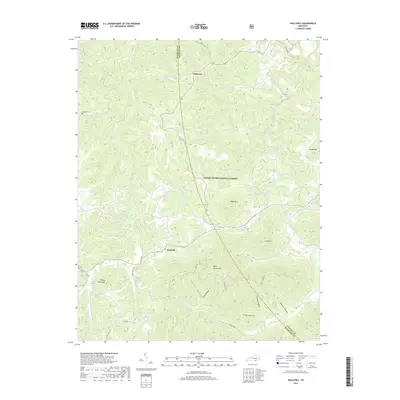
2019 Map of Hollyhill
USGS Topo · Published 2019About this map
Daniel Boone National Forest dominates the landscape of this region on the border of McCreary and Whitley Counties. The topography is defined by narrow ridges and steep hollows, including Lovitt Hollow and Seago Hollow, which drain into a network of waterways led by Marsh Creek and Jellico Creek. This modern survey illustrates the persistent rural settlement patterns centered on small communities like Hollyhill and Duckrun.
Find a feature on this map
51 named features on this map. Tap any name to fly to it.
Don’t see what you’re looking for? This feature index may not catch every label — zoom into the map to look around manually.
Map Details
Editions of this 2019 Hollyhill Map
This is the sole edition of this map. No revisions or reprints were ever made.
Other maps of this area
1890 · Williamsburg
USGS Topo · 1:125,000
1894 · Williamsburg
USGS Topo · 1:125,000
1952 · Wofford
USGS Topo · 1:24,000
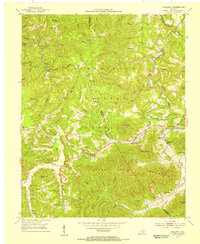
1952 · Hollyhill
USGS Topo · 1:24,000
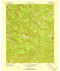
1952 · Wiborg
USGS Topo · 1:24,000
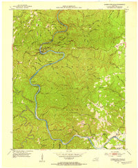
1952 · Cumberland Falls
USGS Topo · 1:24,000
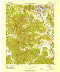
1952 · Williamsburg
USGS Topo · 1:24,000
1952 · Whitley City
USGS Topo · 1:24,000
1953 · Winfield
USGS Topo · 1:24,000
1953 · Jellico West
USGS Topo · 1:24,000