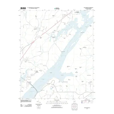
2011 Map of Hollywood
USGS Topo · Published 2011About this map
Guntersville Lake dominates this Jackson County landscape, its broad waters covering the ancient course of the Tennessee River and surrounding numerous islands and bars. Along the shoreline, historical footprints remain visible through a dense collection of family burial sites such as Chisenhall Cemetery, Hansbrough Cemetery, and Finnell Cemetery. The settlement of Hollywood sits inland from the riverbank, positioned near the rugged rise of Backbone Ridge and the winding path of Dry Creek. Farther south, the community of Bellefonte stands near the water's edge, adjacent to Bellefonte Island and Bellefonte Bar. The terrain is marked by distinct topographical features like Hales Ferry Gap and Sublett Gap, illustrating how the valley's ridges have historically funneled travel toward the river crossings and lowland settlements.
Find a feature on this map
123 named features on this map. Tap any name to fly to it.
Don’t see what you’re looking for? This feature index may not catch every label — zoom into the map to look around manually.
Map Details
Editions of this 2011 Hollywood Map
This is the sole edition of this map. No revisions or reprints were ever made.
Other maps of this area

1886 · Stevenson
USGS Topo · 1:125,000

1888 · Scottsboro
USGS Topo · 1:125,000

1892 · Scottsboro
USGS Topo · 1:125,000

1892 · Stevenson
USGS Topo · 1:125,000

1895 · Stevenson
USGS Topo · 1:125,000

1936 · Scottsboro
USGS Topo · 1:24,000

1936 · Wannville
USGS Topo · 1:24,000

1936 · Langston
USGS Topo · 1:24,000

1936 · Mud Creek
USGS Topo · 1:24,000

1936 · Dutton
USGS Topo · 1:24,000