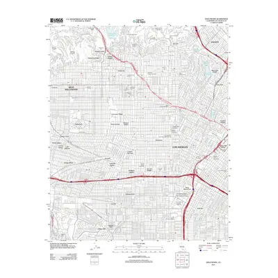
2012 Map of Hollywood
USGS Topo · Published 2012About this map
Hollywood and West Hollywood anchor this comprehensive portrait of the central Los Angeles basin as it appeared in the early 21st century. The map illustrates the dense urban fabric extending from the Hollywood Bowl and Hollywoodland Gates in the north down to Baldwin Hills and the Los Angeles Memorial Coliseum in the south. This area is characterized by its world-renowned entertainment infrastructure, featuring the historic lots of Columbia Picture Studios, Paramount Studios, and Television City.
Find a feature on this map
72 named features on this map. Tap any name to fly to it.
Don’t see what you’re looking for? This feature index may not catch every label — zoom into the map to look around manually.
Map Details
Editions of this 2012 Hollywood Map
This is the sole edition of this map. No revisions or reprints were ever made.
Other maps of this area

1894 · Los Angeles
USGS Topo · 1:62,500

1896 · Pasadena
USGS Topo · 1:62,500

1896 · Redondo
USGS Topo · 1:62,500

1896 · Santa Monica
USGS Topo · 1:62,500

1896 · Downey
USGS Topo · 1:62,500

1898 · Santa Monica
USGS Topo · 1:62,500

1899 · Downey
USGS Topo · 1:62,500

1900 · Pasadena
USGS Topo · 1:62,500

1900 · Los Angeles
USGS Topo · 1:62,500

1901 · Southern California Sheet No. 1
USGS Topo · 1:250,000