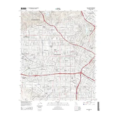
2015 Map of Hollywood
USGS Topo · Published 2015About this map
Hollywood and its surrounding neighborhoods are depicted during a period of dense urban consolidation in this mid-2010s study. The map traces the famous topography where the Santa Monica Mountains meet the developed flatlands, featuring iconic residential enclaves like Whitley Heights and Hollywood Heights. This era of the city's history is characterized by a high concentration of specialized institutions, from the American Film Institute Conservatory and Musicians Institute to the University of Southern California campus at the southern edge. The landscape is a complex grid of historic districts such as Hancock Park, Larchmont Village, and Koreatown, reflecting the diverse cultural and economic development of the Los Angeles basin. Significant open spaces and landmarks remain prominent, including the Hollywood Reservoir and the Hollywood Memorial Park, alongside the established transit corridors of Wilshire Blvd and Santa Monica Blvd.
Find a feature on this map
88 named features on this map. Tap any name to fly to it.
Don’t see what you’re looking for? This feature index may not catch every label — zoom into the map to look around manually.
Map Details
Editions of this 2015 Hollywood Map
This is the sole edition of this map. No revisions or reprints were ever made.
Other maps of this area

1894 · Los Angeles
USGS Topo · 1:62,500

1896 · Pasadena
USGS Topo · 1:62,500

1896 · Redondo
USGS Topo · 1:62,500

1896 · Santa Monica
USGS Topo · 1:62,500

1896 · Downey
USGS Topo · 1:62,500

1898 · Santa Monica
USGS Topo · 1:62,500

1899 · Downey
USGS Topo · 1:62,500

1900 · Pasadena
USGS Topo · 1:62,500

1900 · Los Angeles
USGS Topo · 1:62,500

1901 · Southern California Sheet No. 1
USGS Topo · 1:250,000