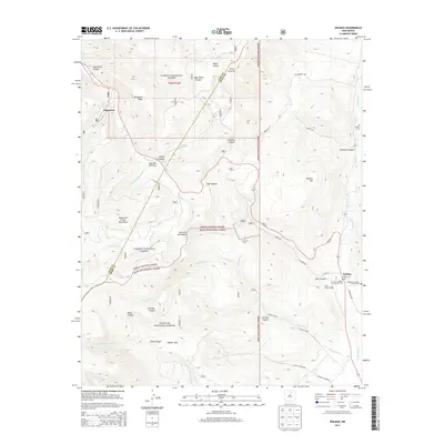
2013 Map of Holman
USGS Topo · Published 2013About this map
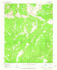
The Sangre de Cristo Mountains and Santa Fe Mountains dominate this high-altitude landscape where the headwaters of several major drainages begin. The settlement of Holman serves as a local hub near the confluence of Vigil Canyon and the Mora River, marked by several religious sites including the Holman Presbyterian Cem and Immaculate Heart of Mary Cem. Higher in the mountains to the west, the village of Angostura sits along the Rio Pueblo near Angostura Ridge, reflecting the isolated pastoral nature of these northern New Mexico mountain communities.
Find a feature on this map
48 named features on this map. Tap any name to fly to it.
Don’t see what you’re looking for? This feature index may not catch every label — zoom into the map to look around manually.
Map Details
Editions of this 2013 Holman Map
This is the sole edition of this map. No revisions or reprints were ever made.
Other maps of this area
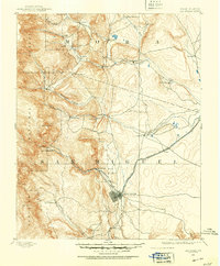
1889 · Las Vegas
USGS Topo · 1:125,000
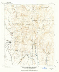
1889 · Santa Fe
USGS Topo · 1:125,000
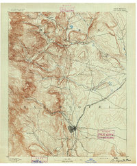
1891 · Las Vegas
USGS Topo · 1:125,000
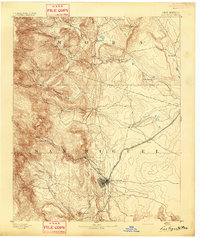
1893 · Las Vegas
USGS Topo · 1:125,000
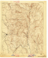
1894 · Santa Fe
USGS Topo · 1:125,000
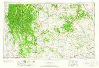
1954 · Santa Fe
USGS Topo · 1:250,000

1954 · Raton
USGS Topo · 1:250,000

1958 · Raton
USGS Topo · 1:250,000
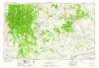
1958 · Santa Fe
USGS Topo · 1:250,000
1963 · Pecos Falls
USGS Topo · 1:24,000