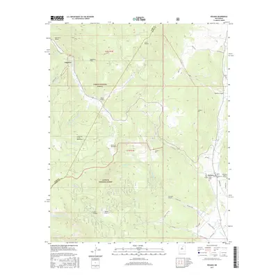
2017 Map of Holman
USGS Topo · Published 2017About this map
The Mora River valley serves as the central artery for this mountainous region of Northern New Mexico, where the high peaks of the Sangre de Cristo Mountains meet the developed landscape of the Carson National Forest and Santa Fe National Forest. This 2017 survey details a unique cluster of religious and family burial sites near the settlement of Holman, including the Holman Presbyterian Cem, Agua Negra Cem, and the Immaculate Heart of Mary Cem. The terrain is defined by dramatic elevation changes, moving from the low river valley to the heights of Holman Hill and Cerro Picacho. Small agricultural settlements like Angostura and Walker Flats are connected by a network of local routes such as La Canada Rd and the La Morada Rd, illustrating the persistent rural character and genealogy of this high-altitude mountain corridor.
Find a feature on this map
51 named features on this map. Tap any name to fly to it.
Don’t see what you’re looking for? This feature index may not catch every label — zoom into the map to look around manually.
Map Details
Editions of this 2017 Holman Map
This is the sole edition of this map. No revisions or reprints were ever made.
Other maps of this area

1889 · Las Vegas
USGS Topo · 1:125,000

1889 · Santa Fe
USGS Topo · 1:125,000

1891 · Las Vegas
USGS Topo · 1:125,000

1893 · Las Vegas
USGS Topo · 1:125,000

1894 · Santa Fe
USGS Topo · 1:125,000

1954 · Santa Fe
USGS Topo · 1:250,000

1954 · Raton
USGS Topo · 1:250,000

1958 · Raton
USGS Topo · 1:250,000

1958 · Santa Fe
USGS Topo · 1:250,000
1963 · Pecos Falls
USGS Topo · 1:24,000