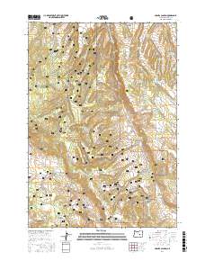
2017 Map of Holmes Canyon
USGS Topo · Published 2017About this map
Ochoco National Forest lands dominate this high-desert landscape in Harney County, where a complex network of forest roads and logging infrastructure reveals the region's managed timber and grazing history. The presence of the Hines Logging Rd and Horton Mill Rd points to the industrial legacy of the local forest products industry, connecting the higher elevations of Bald Butte to drainage systems like Horton Canyon. Numerous water management features are scattered across the terrain, including the Horton Mill Reservoir, Dry Gulch Reservoir, and Four Deer Reservoir, which provide critical water sources in this semi-arid environment. Topographically, the map is defined by a series of prominent ridges and canyons, most notably Elliott Ridge, Sundown Ridge, and Winslow Canyon. These features, alongside named springs like Lumsden Spring, trace the natural hydrology that has shaped land use in this part of eastern Oregon.
Find a feature on this map
47 named features on this map. Tap any name to fly to it.
Don’t see what you’re looking for? This feature index may not catch every label — zoom into the map to look around manually.
Map Details
Editions of this 2017 Holmes Canyon Map
This is the sole edition of this map. No revisions or reprints were ever made.
Other maps of this area

1955 · Burns
USGS Topo · 1:250,000

1958 · Burns
USGS Topo · 1:250,000

1959 · Burns
USGS Topo · 1:250,000
1959 · West Myrtle Butte
USGS Topo · 1:62,500
1959 · Sawtooth Creek
USGS Topo · 1:62,500
1960 · Burns
USGS Topo · 1:62,500
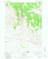
1981 · Sage Hen Hill
USGS Topo · 1:24,000
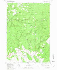
1981 · Egypt Canyon
USGS Topo · 1:24,000
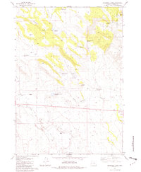
1981 · Oakerman Lakes
USGS Topo · 1:24,000
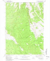
1981 · Holmes Canyon
USGS Topo · 1:24,000