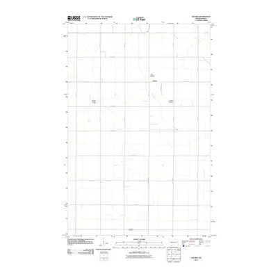
2011 Map of Holmes
USGS Topo · Published 2011About this map
The small community of Holmes sits at the center of this rural North Dakota landscape, defined by a grid of agricultural roads and the meandering path of Cole Creek. Genealogists and local historians will find significant detail in the placement of area graveyards, including Saint Jordahlen Cemetery to the north, Holmes Methodist Cemetery to the east, and Bethany Cemetery near the southern boundary. These sites, often associated with early pioneer families and church congregations, remain vital touchstones of the region's heritage. The presence of the Gensrich Landing Strip west of the town center highlights the importance of private aviation in managing the expansive farmlands. This 2011 survey illustrates the persistent rural character of Grand Forks County, where named local roads like K Roeder Dr and Eagle Ave connect isolated farmsteads to the central settlement.
Find a feature on this map
24 named features on this map. Tap any name to fly to it.
Don’t see what you’re looking for? This feature index may not catch every label — zoom into the map to look around manually.
Map Details
Editions of this 2011 Holmes Map
This is the sole edition of this map. No revisions or reprints were ever made.
Other maps of this area

1934 · Emerado
USGS Topo · 1:48,000

1934 · Grand Forks
USGS Topo · 1:62,500

1936 · Emerado
USGS Topo · 1:62,500

1938 · Grand Forks
USGS Topo · 1:62,500

1952 · Grand Forks
USGS Topo · 1:250,000

1956 · Grand Forks
USGS Topo · 1:250,000

1963 · Emerado SE
USGS Topo · 1:24,000

1963 · Emerado SW
USGS Topo · 1:24,000

1966 · Grand Forks
USGS Topo · 1:250,000
1970 · Hatton
USGS Topo · 1:24,000