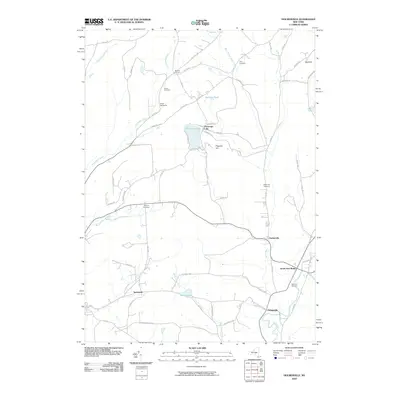
2010 Map of Holmesville
USGS Topo · Published 2010About this map
The Unadilla River forms the eastern boundary of this rural Chenango County landscape, where the small community of South New Berlin sits at the intersection of river and road. This 2010 survey illustrates the transition from the valley floor to the upland heights of Flagpole Hill and West Hill. To the west, Chenango Lake and Madison Pond are centered among a network of rural routes such as Tiffany Rd and Dilley Hill Rd, which connect historic clusters like Kings Settlement and Burwell Corners.
Find a feature on this map
67 named features on this map. Tap any name to fly to it.
Don’t see what you’re looking for? This feature index may not catch every label — zoom into the map to look around manually.
Map Details
Editions of this 2010 Holmesville Map
This is the sole edition of this map. No revisions or reprints were ever made.
Other maps of this area

1902 · Coventry
USGS Topo · 1:62,500

1903 · Norwich
USGS Topo · 1:62,500

1904 · Oxford
USGS Topo · 1:62,500

1910 · New Berlin
USGS Topo · 1:62,500

1912 · New Berlin
USGS Topo · 1:62,500

1915 · Unadilla
USGS Topo · 1:62,500

1918 · Unadilla
USGS Topo · 1:62,500

1943 · New Berlin North
USGS Topo · 1:24,000

1943 · New Berlin South
USGS Topo · 1:24,000

1943 · Gilbertsville
USGS Topo · 1:24,000