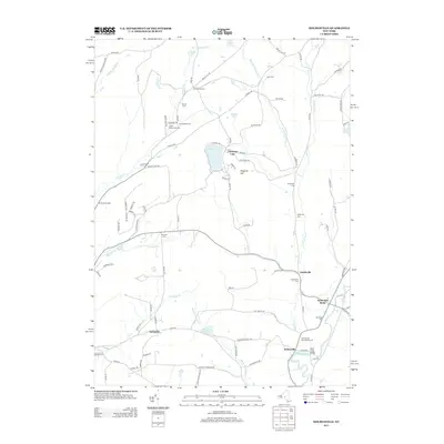
2013 Map of Holmesville
USGS Topo · Published 2013About this map
Kings Settlement and the southern reach of the Unadilla River anchor this 2013 survey of the Chenango County countryside. The landscape is defined by the high ground of Flagpole Hill and the waters of Chenango Lake, surrounded by small settlements like Amblerville, Holmesville, and Springvale. This modern topography preserves the location of numerous ancestral resting places, including the Holmesville Burying Ground, Kings Settlement Cem, and Wightman Cem, which remain scattered throughout the agricultural and forested uplands.
Find a feature on this map
98 named features on this map. Tap any name to fly to it.
Don’t see what you’re looking for? This feature index may not catch every label — zoom into the map to look around manually.
Map Details
Editions of this 2013 Holmesville Map
This is the sole edition of this map. No revisions or reprints were ever made.
Other maps of this area

1902 · Coventry
USGS Topo · 1:62,500

1903 · Norwich
USGS Topo · 1:62,500

1904 · Oxford
USGS Topo · 1:62,500

1910 · New Berlin
USGS Topo · 1:62,500

1912 · New Berlin
USGS Topo · 1:62,500

1915 · Unadilla
USGS Topo · 1:62,500

1918 · Unadilla
USGS Topo · 1:62,500

1943 · New Berlin North
USGS Topo · 1:24,000

1943 · New Berlin South
USGS Topo · 1:24,000

1943 · Gilbertsville
USGS Topo · 1:24,000