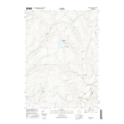
2016 Map of Holmesville
USGS Topo · Published 2016About this map
Kings Settlement and Amblerville anchor this Central New York landscape where the headwaters of Whapaunaucau Brook and Thompson Cr carve through high-elevation terrain. The map captures a high density of ancestral sites along the Unadilla River corridor, including the Holmesville Burying Ground and Riverside Cem near the settlement of South New Berlin. These burial grounds and family-named roads like Mudge King Rd and Follett Hill Rd provide critical spatial data for genealogists tracing 19th-century farmsteads.
Find a feature on this map
84 named features on this map. Tap any name to fly to it.
Don’t see what you’re looking for? This feature index may not catch every label — zoom into the map to look around manually.
Map Details
Editions of this 2016 Holmesville Map
This is the sole edition of this map. No revisions or reprints were ever made.
Other maps of this area
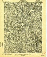
1902 · Coventry
USGS Topo · 1:62,500
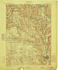
1903 · Norwich
USGS Topo · 1:62,500
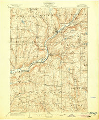
1904 · Oxford
USGS Topo · 1:62,500
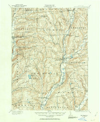
1910 · New Berlin
USGS Topo · 1:62,500
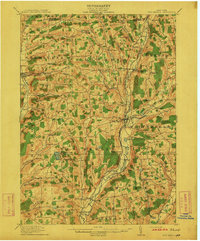
1912 · New Berlin
USGS Topo · 1:62,500
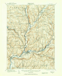
1915 · Unadilla
USGS Topo · 1:62,500
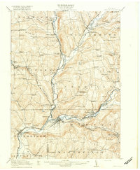
1918 · Unadilla
USGS Topo · 1:62,500
1943 · New Berlin North
USGS Topo · 1:24,000
1943 · New Berlin South
USGS Topo · 1:24,000
1943 · Gilbertsville
USGS Topo · 1:24,000