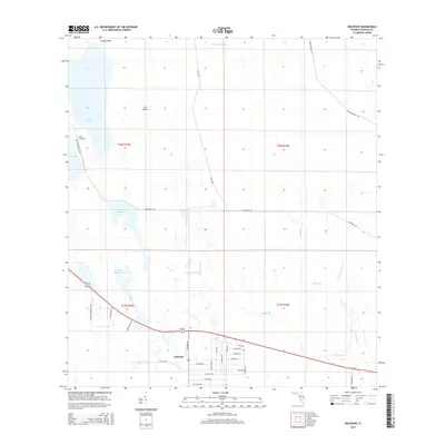
2015 Map of Holopaw
USGS Topo · Published 2015About this map
Holopaw sits at the intersection of a vast network of Florida wetlands and twentieth-century infrastructure. The landscape is defined by extensive drainage features and water bodies, including Lake Conlin, Cat Lake, and Major Slough Lake. A notable point of interest is the Lake X Airport, while the surrounding terrain is marked by Cat Island and the winding course of Myrtle Slough.
Find a feature on this map
43 named features on this map. Tap any name to fly to it.
Don’t see what you’re looking for? This feature index may not catch every label — zoom into the map to look around manually.
Map Details
Editions of this 2015 Holopaw Map
This is the sole edition of this map. No revisions or reprints were ever made.
Other maps of this area

1953 · Holopaw SE
USGS Topo · 1:24,000

1953 · Narcoossee SE
USGS Topo · 1:24,000

1953 · Narcoossee
USGS Topo · 1:24,000

1953 · Deer Park NW
USGS Topo · 1:24,000

1953 · Holopaw SW
USGS Topo · 1:24,000

1953 · Lake Poinsett SW
USGS Topo · 1:24,000

1953 · Deer Park
USGS Topo · 1:24,000

1953 · Ashton
USGS Topo · 1:24,000

1953 · Holopaw
USGS Topo · 1:24,000

1955 · Orlando
USGS Topo · 1:250,000