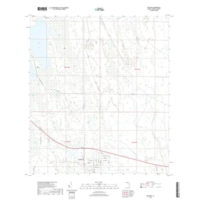
2018 Map of Holopaw
USGS Topo · Published 2018About this map
Holopaw serves as the primary residential hub in this corner of Osceola County, characterized by a grid of space-themed streets including Mercury Dr, Jupiter Dr, and Satellite Ave. The surrounding landscape is defined by an intricate network of wetlands and water bodies, most notably the expansive Lake Conlin and the adjacent Cat Lake. This 2018 survey reveals a terrain dominated by sloughs and swamps, such as Sawgrass Slough and Hogpen Slough, which dictate the local drainage patterns into Crabgrass Cr.
Find a feature on this map
51 named features on this map. Tap any name to fly to it.
Don’t see what you’re looking for? This feature index may not catch every label — zoom into the map to look around manually.
Map Details
Editions of this 2018 Holopaw Map
This is the sole edition of this map. No revisions or reprints were ever made.
Other maps of this area

1953 · Holopaw SE
USGS Topo · 1:24,000

1953 · Narcoossee SE
USGS Topo · 1:24,000

1953 · Narcoossee
USGS Topo · 1:24,000

1953 · Deer Park NW
USGS Topo · 1:24,000

1953 · Holopaw SW
USGS Topo · 1:24,000

1953 · Lake Poinsett SW
USGS Topo · 1:24,000

1953 · Deer Park
USGS Topo · 1:24,000

1953 · Ashton
USGS Topo · 1:24,000

1953 · Holopaw
USGS Topo · 1:24,000

1955 · Orlando
USGS Topo · 1:250,000