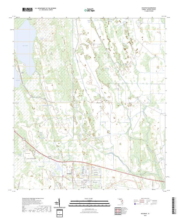
2024 Map of Holopaw
USGS Topo · Published 2024About this map
Holopaw sits at the heart of this central Florida landscape, where the transition from wet prairies to ranch land is marked by an extensive network of sloughs and swamps. The geography is defined by water drainage patterns through features like Sawgrass Slough, Cat Island Swamp, and the North Branch Crabgrass Creek. A unique intersection of aviation and remote terrain is found at the Lake X Airport near Lake X, while the southeastern portion of the map is dominated by the Triple N Ranch Wildlife Management Area. Historical transit routes are still visible in the naming of Old Brick Rd and Tram Rd, suggesting a legacy of early agricultural and timber transport. Modern residential planning is evident in the clustered street names east of Holopaw, such as Satellite Ave and Apollo Ave, contrasting with the surrounding wild marshlands like Jug Creek Swamp.
Find a feature on this map
53 named features on this map. Tap any name to fly to it.
Don’t see what you’re looking for? This feature index may not catch every label — zoom into the map to look around manually.
Map Details
Editions of this 2024 Holopaw Map
This is the sole edition of this map. No revisions or reprints were ever made.
Other maps of this area

1953 · Holopaw SE
USGS Topo · 1:24,000

1953 · Narcoossee SE
USGS Topo · 1:24,000

1953 · Narcoossee
USGS Topo · 1:24,000

1953 · Deer Park NW
USGS Topo · 1:24,000

1953 · Holopaw SW
USGS Topo · 1:24,000

1953 · Lake Poinsett SW
USGS Topo · 1:24,000

1953 · Deer Park
USGS Topo · 1:24,000

1953 · Ashton
USGS Topo · 1:24,000

1953 · Holopaw
USGS Topo · 1:24,000

1955 · Orlando
USGS Topo · 1:250,000