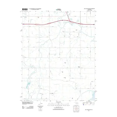
2012 Map of Holt Mountain
USGS Topo · Published 2012About this map
The Canadian River cuts through the southeastern corner of this Muskogee County landscape, where the settlement of Simms sits near the junction of E1125 Rd and Ross Rd. The terrain is defined by a series of prominent rises including Holt Mtn, Barker Mtn, Stanifird Mtn, and Round Mtn, which overlook the winding paths of Dirty Creek and its southern fork. This 2012 survey illustrates a modern rural infrastructure of section-line roads like N4370 Rd and E1080 Rd that navigate the varied topography of Winters Hollow and Rabbit Hill.
Find a feature on this map
54 named features on this map. Tap any name to fly to it.
Don’t see what you’re looking for? This feature index may not catch every label — zoom into the map to look around manually.
Map Details
Editions of this 2012 Holt Mountain Map
This is the sole edition of this map. No revisions or reprints were ever made.
Other maps of this area

1900 · Sansbois
USGS Topo · 1:125,000

1901 · Muscogee
USGS Topo · 1:125,000

1905 · Muscogee
USGS Topo · 1:125,000

1909 · Sans Bois
USGS Topo · 1:125,000

1911 · Sansbois
USGS Topo · 1:125,000

1946 · Fort Smith
USGS Topo · 1:250,000

1948 · Keefeton
USGS Topo · 1:62,500

1948 · Webbers Falls
USGS Topo · 1:62,500

1950 · Keefeton
USGS Topo · 1:62,500

1950 · Webbers Falls
USGS Topo · 1:62,500