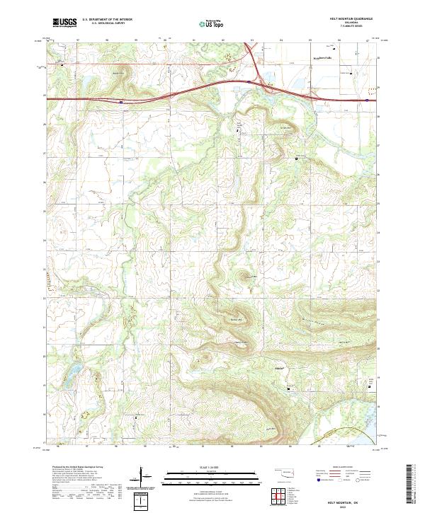
2022 Map of Holt Mountain
USGS Topo · Published 2022About this map
The Oklahoma countryside south of Webbers Falls is defined by a series of prominent peaks and the winding drainage of Dirty Creek. The landscape transitions from the flats of the Arkansas River valley into higher ground marked by Holt Mtn and Barker Mtn, reflecting the varied terrain of the Muskogee County and Haskell County border. This area is notable for its high density of family and community burial grounds, which offer significant value for genealogical research in this part of eastern Oklahoma.
Find a feature on this map
37 named features on this map. Tap any name to fly to it.
Don’t see what you’re looking for? This feature index may not catch every label — zoom into the map to look around manually.
Map Details
Editions of this 2022 Holt Mountain Map
This is the sole edition of this map. No revisions or reprints were ever made.
Other maps of this area

1900 · Sansbois
USGS Topo · 1:125,000

1901 · Muscogee
USGS Topo · 1:125,000

1905 · Muscogee
USGS Topo · 1:125,000

1909 · Sans Bois
USGS Topo · 1:125,000

1911 · Sansbois
USGS Topo · 1:125,000

1946 · Fort Smith
USGS Topo · 1:250,000

1948 · Keefeton
USGS Topo · 1:62,500

1948 · Webbers Falls
USGS Topo · 1:62,500

1950 · Keefeton
USGS Topo · 1:62,500

1950 · Webbers Falls
USGS Topo · 1:62,500