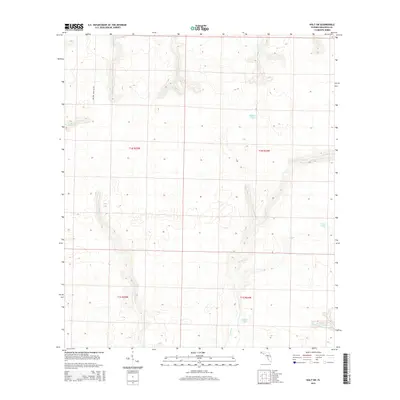
2015 Map of Holt SW
USGS Topo · Published 2015About this map
Military Road 257 cuts through this rural portion of Okaloosa County, anchoring a landscape defined by an intricate network of narrow creek drainages and secluded ponds. The terrain is a complex hydrologic system where Middle Creek, Malone Creek, and Meits Creek converge in the north, while the southern reaches are marked by Turtle Creek and the W Br Eightwood Knot Creek. Isolated water bodies such as Pocosin Pond, Allison Pond, and Green Pond are distributed across the township sections, suggesting low-lying depressions characteristic of the Florida Panhandle's interior.
Find a feature on this map
16 named features on this map. Tap any name to fly to it.
Don’t see what you’re looking for? This feature index may not catch every label — zoom into the map to look around manually.
Map Details
Editions of this 2015 Holt SW Map
This is the sole edition of this map. No revisions or reprints were ever made.
Other maps of this area

1921 · Holley
USGS Topo · 1:62,500

1934 · Holt
USGS Topo · 1:48,000

1934 · Harold
USGS Topo · 1:62,500

1936 · Holley
USGS Topo · 1:48,000

1937 · Holt
USGS Topo · 1:62,500

1937 · Harold
USGS Topo · 1:62,500

1938 · Mary Esther
USGS Topo · 1:62,500

1938 · Holley
USGS Topo · 1:62,500

1938 · Harold
USGS Topo · 1:62,500

1956 · Fort Walton Beach
USGS Topo · 1:62,500