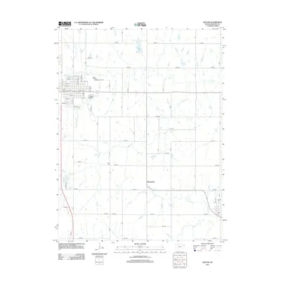
2012 Map of Holton
USGS Topo · Published 2012About this map
Holton serves as the primary hub of this Jackson County landscape, where the residential street grid gives way to the Jackson County Fairgrounds and the Holton Wastewater Treatment facility. The surrounding countryside is defined by a dense network of sectional roads, such as 246th Rd and 182nd Rd, which connect small rural settlements like Birmingham and Denison. This grid-iron layout reflects the organized agricultural development of the Kansas plains, interrupted only by the winding paths of Elk Cr and N Cedar Cr.
Find a feature on this map
40 named features on this map. Tap any name to fly to it.
Don’t see what you’re looking for? This feature index may not catch every label — zoom into the map to look around manually.
Map Details
Editions of this 2012 Holton Map
This is the sole edition of this map. No revisions or reprints were ever made.
Other maps of this area
1888 · Hiawatha
USGS Topo · 1:125,000
1889 · Topeka
USGS Topo · 1:125,000
1894 · Topeka
USGS Topo · 1:125,000
1894 · Hiawatha
USGS Topo · 1:125,000

1950 · Kansas City
USGS Topo · 1:250,000
1954 · Kansas City
USGS Topo · 1:250,000
1956 · Kansas City
USGS Topo · 1:250,000
1960 · Kansas City
USGS Topo · 1:250,000
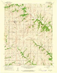
1960 · Mayetta
USGS Topo · 1:24,000
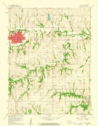
1960 · Holton
USGS Topo · 1:24,000