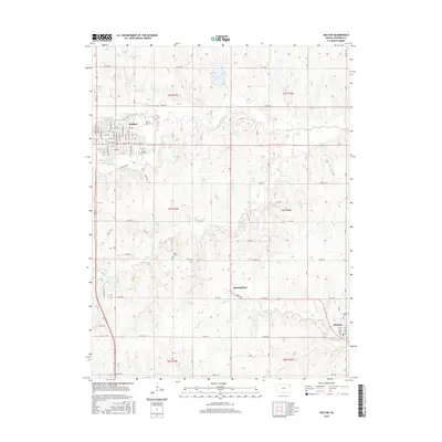
2015 Map of Holton
USGS Topo · Published 2015About this map
Holton serves as the primary municipal center in this Jackson County landscape, characterized by a structured grid of residential streets like W 4th St and E 8th St. The area is defined by a series of north-south flowing watercourses, including Elk Cr, Bills Cr, and N Cedar Cr, which carve through the agricultural sections of the quadrangle. Smaller rural communities and landmarks are distributed to the south and east, notably Birmingham and the town of Denison. For those researching local history, the presence of Bruck Cem and Denison Cem provides essential grounding for family lineages. The landscape is also punctuated by significant water bodies such as Elk Horn Lake and Prairie Lake, illustrating the regional management of water resources within this Kansas plains environment.
Find a feature on this map
47 named features on this map. Tap any name to fly to it.
Don’t see what you’re looking for? This feature index may not catch every label — zoom into the map to look around manually.
Map Details
Editions of this 2015 Holton Map
This is the sole edition of this map. No revisions or reprints were ever made.
Other maps of this area
1888 · Hiawatha
USGS Topo · 1:125,000
1889 · Topeka
USGS Topo · 1:125,000
1894 · Topeka
USGS Topo · 1:125,000
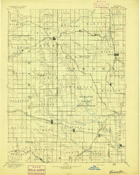
1894 · Hiawatha
USGS Topo · 1:125,000
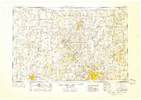
1950 · Kansas City
USGS Topo · 1:250,000
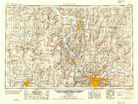
1954 · Kansas City
USGS Topo · 1:250,000
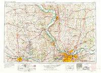
1956 · Kansas City
USGS Topo · 1:250,000
1960 · Kansas City
USGS Topo · 1:250,000
1960 · Mayetta
USGS Topo · 1:24,000
1960 · Holton
USGS Topo · 1:24,000