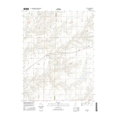
2016 Map of Holton
USGS Topo · Published 2016About this map
The borderlands of Jennings and Ripley Counties in south-central Indiana are defined by a complex network of waterways, including the Vernon Fork Muscatatuck River and its numerous tributaries. These streams, such as Otter Creek, have deeply carved the landscape, influencing the placement of early settlements and rural road networks. The small communities of Holton, Nebraska, and Zenas anchor the region, connected by a grid of county roads that often follow topographic ridges or navigate the steep drainage of Little Otter Fork and Falling Timber Br.
Find a feature on this map
86 named features on this map. Tap any name to fly to it.
Don’t see what you’re looking for? This feature index may not catch every label — zoom into the map to look around manually.
Map Details
Editions of this 2016 Holton Map
This is the sole edition of this map. No revisions or reprints were ever made.
Other maps of this area
1942 · Columbus
USGS Topo · 1:125,000
1946 · Versailles
USGS Topo · 1:24,000
1946 · Osgood
USGS Topo · 1:24,000
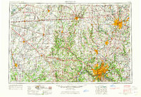
1953 · Cincinnati
USGS Topo · 1:250,000
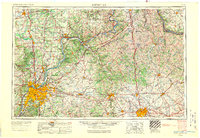
1956 · Louisville
USGS Topo · 1:250,000
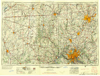
1957 · Cincinnati
USGS Topo · 1:250,000
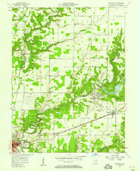
1957 · Butlerville
USGS Topo · 1:24,000
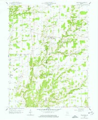
1958 · Millhousen
USGS Topo · 1:24,000
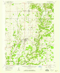
1958 · Westport
USGS Topo · 1:24,000
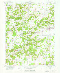
1959 · Holton
USGS Topo · 1:24,000