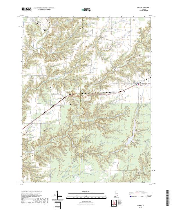
2022 Map of Holton
USGS Topo · Published 2022About this map
Holton serves as a primary hub for the surrounding agricultural landscape of western Ripley County, situated near the headwaters of Otter Creek and Falling Timber Br. This modern survey reveals a dense network of country cemeteries, such as Saint Bridget Cem and Old Hopewell Cem, which reflect generations of family burials in the rural districts surrounding Nebraska and Zenas. The terrain is defined by the incision of watercourses like Brush Cr and the Vernon Fork Muscatatuck River as they cut through the Indiana uplands. In the southeastern portion of the quadrangle, Old Timber Lake provides a notable landmark within the timbered breaks. Transportation routes, including a grid of county roads and the small Francis Airport, link these scattered settlements, while the municipal boundaries of Jennings and Ripley counties bisect the western half of the map.
Find a feature on this map
85 named features on this map. Tap any name to fly to it.
Don’t see what you’re looking for? This feature index may not catch every label — zoom into the map to look around manually.
Map Details
Editions of this 2022 Holton Map
This is the sole edition of this map. No revisions or reprints were ever made.
Other maps of this area

1942 · Columbus
USGS Topo · 1:125,000

1946 · Versailles
USGS Topo · 1:24,000

1946 · Osgood
USGS Topo · 1:24,000

1953 · Cincinnati
USGS Topo · 1:250,000

1956 · Louisville
USGS Topo · 1:250,000

1957 · Cincinnati
USGS Topo · 1:250,000

1957 · Butlerville
USGS Topo · 1:24,000

1958 · Millhousen
USGS Topo · 1:24,000

1958 · Westport
USGS Topo · 1:24,000

1959 · Holton
USGS Topo · 1:24,000