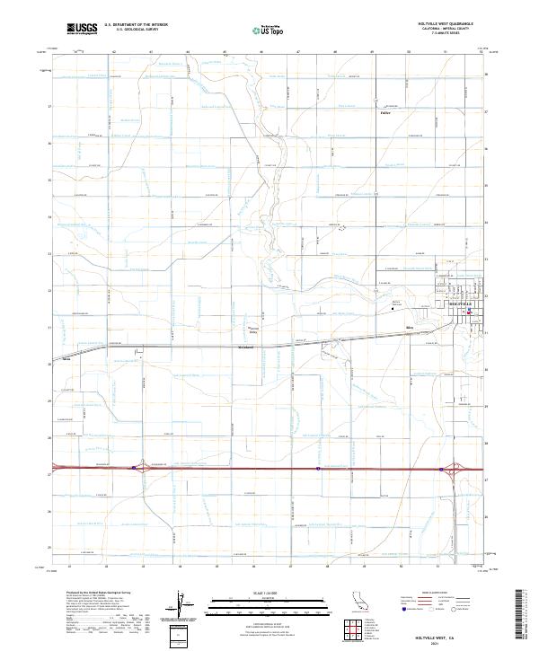
2021 Map of Holtville West
USGS Topo · Published 2021About this map
Imperial Valley agricultural patterns dominate this landscape, where a dense network of irrigation infrastructure supports the intensive farming of the Colorado Desert. The Alamo River snakes through the center of the sheet, flanked by the sprawling grids of the Redwood Canal and Rubber Canal. These water systems are critical to the local economy, feeding a complex hierarchy of drains and laterals such as McKim Drain and Peach Lateral that define property boundaries and land use throughout the region.
Find a feature on this map
170 named features on this map. Tap any name to fly to it.
Don’t see what you’re looking for? This feature index may not catch every label — zoom into the map to look around manually.
Map Details
Editions of this 2021 Holtville West Map
This is the sole edition of this map. No revisions or reprints were ever made.
Other maps of this area

1907 · Holtville
USGS Topo · 1:125,000

1915 · El Centro
USGS Topo · 1:125,000

1940 · Brawley
USGS Topo · 1:62,500

1940 · Heber
USGS Topo · 1:62,500

1940 · Alamorio
USGS Topo · 1:62,500

1940 · Calexico
USGS Topo · 1:62,500

1942 · El Centro
USGS Topo · 1:250,000

1943 · Heber
USGS Topo · 1:62,500

1943 · Brawley
USGS Topo · 1:62,500

1943 · Calexico
USGS Topo · 1:62,500